
Introduction: The Groundwork Challenge
Every construction and real estate project starts with a multi-thousand-dollar question: what lies beneath the surface? The answer dictates everything from foundation design and project costs to long-term stability. However, this critical intelligence has historically come with a prohibitive price tag and long, frustrating wait times. This raises a central question for any modern project: is it possible to get the reliable data you need, rooted in trusted sources like the USDA, without the typical 1,000−5,000 cost and month-long delays? The answer is yes. Modern technology has finally provided a solution that delivers high-precision, actionable soil intelligence instantly and for a fraction of the traditional cost.
1. The Traditional Barrier: Why Standard Geotechnical Reports are Slow and Costly
To appreciate the value of a modern alternative, it’s essential to understand the traditional soil reporting process. For decades, it has served as a critical but often frustrating bottleneck in project development, introducing significant friction into timelines and budgets.
The Traditional Subgrade Analysis: A Snapshot
| Metric | Industry Standard |
|---|---|
| Turnaround Time | 2-4 WEEKS |
| Cost | $1,000 – $5,000+ |
For any project on a deadline, these metrics are killers. The weeks spent waiting directly translate into prolonged uncertainty, which in turn generates crippling holding costs from loan interest, equipment rentals, and property taxes. This unpredictability is a primary driver of devastating budget overruns before a single shovel hits the ground.
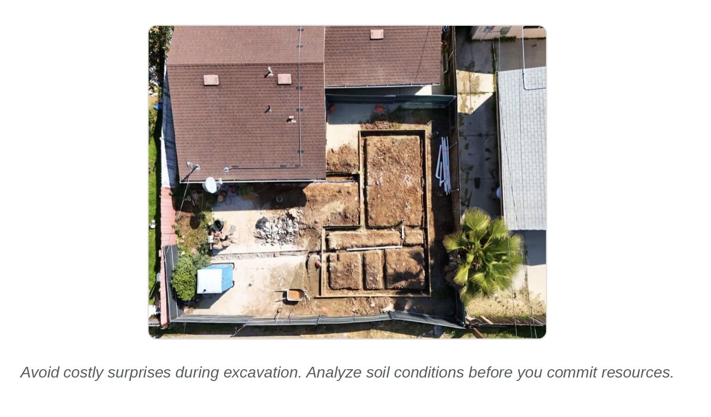
Despite the friction, forgoing a report is not an option. Attempting to skip this foundational step is a common and costly mistake that can lead to catastrophic outcomes, including foundation failure, costly permit denials, and project collapse. But the most significant risk isn’t the money you spend on a traditional report—it’s the critical, site-specific data that report may be missing entirely.
2. The Hidden Data Gap: Uncovering the Limitations of Standard USDA NRCS Maps
While USDA NRCS data is the “gold standard” and a foundational resource for soil analysis, its conventional application has significant limitations for site-specific projects. Understanding these gaps is crucial for appreciating why a technological upgrade is necessary to unlock its true potential.
1. County-Level Averages The data is often averaged at a county level, a resolution far too broad for a specific parcel. This is like trying to diagnose a patient’s health using the average vital signs for their entire city—you miss the specific conditions that determine their actual well-being.
2. Missing Man-Made Changes Conventional maps are unable to account for man-made alterations to the land. Critical changes like the addition of backfill or grading dramatically alter soil behavior, but these modifications are invisible. This means a crew could begin excavation expecting stable native soil, only to discover loosely compacted fill dirt, leading to immediate work stoppages and costly change orders.
3. Outdated & Static Data The information is derived from static maps, some of which may be decades old. This static view is blind to seasonal changes, like a high water table in the spring, which could doom a septic system or compromise a foundation planned during a dry season.
Given these challenges, how can this valuable foundational data be upgraded to provide the speed, precision, and affordability modern projects demand?
3. The Solution: Transforming Soil Analysis with Modern Technology
The answer lies in SoilCertify, a modern solution that leverages Google’s AlphaEarth and Earth Engine to overcome the limitations of traditional methods. By integrating advanced technology with foundational USDA data, it transforms a weeks-long process into a matter of seconds.
How Technology Closes the Gaps
This new approach enhances precision through three key technological upgrades, turning broad estimates into a high-fidelity view of a specific property.
• Precision Upgrade #1: 25x Resolution Instead of relying on regional averages, this technology increases precision by 25 times, moving from county-level data to a detailed 10×10 meter grid. This allows for the analysis of the exact build site, providing a true understanding of the specific soil conditions you will be working with.
• Precision Upgrade #2: Detecting the Unseen Using advanced SAR (Synthetic Aperture Radar) and LiDAR technology, the system scans for subtle changes in ground texture and slope, flagging them with alerts like “Anomalous Surface Texture Detected” to pinpoint potential fill dirt that traditional methods miss entirely.
• Precision Upgrade #3: Continuous Time-Mapping Static, decades-old maps are replaced with continuous analysis of data over time. This dynamic approach allows for the detection of subsurface moisture anomalies and other temporal changes, filling in the gaps where old maps are blind and providing a more complete picture of the site’s behavior through the seasons.
This leap in precision doesn’t just produce a better report; it delivers a strategic advantage, empowering professionals to make faster, smarter decisions with unprecedented confidence.
4. The Impact: Actionable Intelligence for Smarter, Faster Projects
This technological leap provides a strategic advantage across the board. For real estate agents, instant data becomes a powerful tool to build client trust and close deals faster. For developers, it’s a critical instrument for mitigating risk and controlling costs from day one. Ultimately, it gives any professional who works with land the power to build smarter, faster, and with more certainty than ever before.
“The pH and drainage data saved me from a costly mistake… My material costs are more accurate, my bids are tighter, and my margins improved 15%.”
Users receive an instant, easy-to-read report that delivers actionable intelligence, including:
• Foundation Risk Analysis
• Septic Feasibility
• Landscaping Potential (pH and drainage data)
This level of insight, once locked behind high costs and long waits, is no longer out of reach.
Conclusion: Stop Waiting, Start Knowing
The era of choosing between expensive, slow reports and risky guesswork is over. The old way required professionals to spend over $1,000 and wait weeks for data that still contained significant gaps. The new way delivers a higher-precision, more comprehensive soil report instantly and for under $300. This isn’t just an upgrade in data; it’s an upgrade in your ability to make profitable decisions.
Get your instant, high-precision soil report today at SoilCertify.com.
SoilCertify.com
See a sample report here.